Glen Burnie Tree Removal has been doing tree removal in Essex for more than twenty years, and the first question we ask on a job here is almost never about the tree. It is about the parcel. Which Chesapeake Bay Critical Area designation an address carries decides what may come down, what has to go back in, and whether the county sees the work at all.
That is not how it usually goes. In most of the places we work the answer is the same everywhere inside the boundary, so a crew can size up a removal from the driveway and quote it on the spot. Here it is not the same everywhere, and a price written without checking the designation first is a price that can be wrong by an entire approval.
So this page is about the classification rather than about us. It covers where the three designations fall, what each one changes about a removal, who signs off, and what the ground under the yard does to the tree standing in it. If you already know which designation your lot carries, the sections below are ordered so you can go straight to it.
Find your classification first
The Chesapeake Bay Critical Area program is administered here under Baltimore County Code Article 33, Title 2, and it sorts shoreline land into three designations: Intensely Developed Area, Limited Development Area and Resource Conservation Area. Each one carries a different expectation about how much woody cover may be cleared and what has to be replaced. The designation belongs to the parcel, not to the community.
What makes this place unusual is that the community holds all three at once. Point checks come back Intensely Developed at Eastern Avenue by the Back River bridge, Limited Development out on Back River Neck and near Wilson Point, and Resource Conservation along Hopkins Creek and toward Turkey Point Road. Two houses a mile apart can be working from different clearing rules, which is why a quote should establish the designation before it promises a schedule.
We treat that as step one rather than as paperwork to sort out later. A Resource Conservation Area lot is not an Intensely Developed Area lot, and treating the two as interchangeable is the mistake that turns a single-visit removal into a stalled one with a crew standing around.
Who signs off on the work
There is no town hall to visit. The community is an unincorporated census-designated place, so approvals route through Baltimore County, and the Department of Environmental Protection and Sustainability handles the environmental impact review that forest conservation runs through under Article 33, Title 6. That same title is what covers commercial logging and timber harvesting, which is a different animal from taking one declining oak out of a back yard.
Two more approvals sit outside the county entirely. A tree whose trunk stands in the public road right-of-way needs a Roadside Tree Care Permit from the Maryland Department of Natural Resources Forest Service before anything is cut or trimmed. Maryland also requires that tree work done for hire be performed by, or under the supervision of, a Maryland Licensed Tree Expert, and that credential belongs on the written contract you sign with anyone.
Looking for tree-removal closer to Annapolis? See Tree-Removal in Annapolis.
Neck lots versus bridge lots
Back River Neck Road runs out along a narrow finger of land, and the lots hanging off it read as Limited Development Area. Wilson Point sits under the same designation. On that ground a removal gets planned around the replacement question from the first site visit, because the designation assumes the woody cover is doing something the county wants kept.
By the Back River bridge on Eastern Avenue the classification flips to Intensely Developed. That is the built-up end of the community, and the review is lighter there, though lighter is not the same as absent. The practical difference a homeowner feels is timing: a removal near the bridge can often be scheduled straight away, while the same tree out on the Neck may need a plan drawn and looked at first.
Along Hopkins Creek and out toward Turkey Point Road the designation is Resource Conservation, the most protective of the three. Clearing there is the narrowest, the replanting expectation is the firmest, and the lead time is the longest. None of that makes the work impossible; it makes the sequence matter.
Two job shapes on the same day
The building stock splits close to evenly between two very different site conditions. Of the housing units counted here, 38.9% are single-family detached and 35.9% are single-family attached, so a crew can work an open side yard in the morning and a rear alley or a shared driveway after lunch. The rigging plan changes completely between those two.
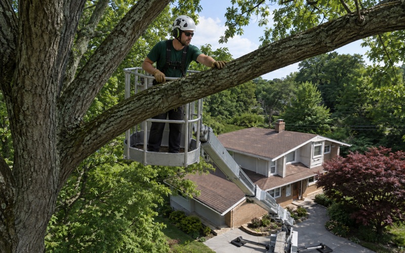
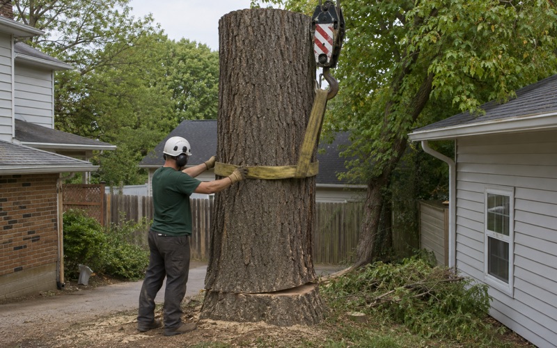
We keep compact equipment on the truck for the second kind, which is what lets a gated back yard or a party-wall lot get done without defaulting to a crane and a street closure. Where a tree genuinely does stand over a roof, crane-assisted removal is the right call and we say so early rather than discovering it on the day.
Waterfront clearing limits
The peninsula puts a large share of properties within a few blocks of tidal water, with the Middle River on one side and the Back River on the other. That proximity is what pulls the shoreline buffer into the conversation, and the buffer is a separate question from the designation itself.
Where a removal reaches into that buffer, a Buffer Management Plan is normally the document that carries the detail: which stems come out, what goes back, and where. We would rather build the job around that plan from the beginning than find out midway through that one is needed. Establishing it early is part of what the estimate visit is for.
Sandy ground and shallow root plates
The ground argues for taking the buffer seriously. The surface is mapped as Quaternary Lowland Deposits on the Atlantic Coastal Plain, which is unconsolidated sand, gravel, silt and clay, and the soil at the center of the community maps as Udorthents, the designation used for cut, filled or reworked ground. Waterfront blocks nearby map instead to deep sandy coastal-plain series.
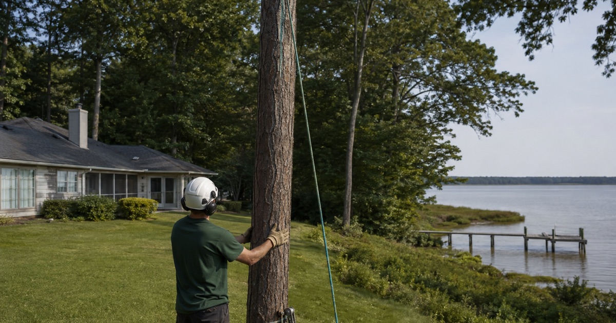
Sandy, saturated ground gives a tree a shallow, wide root plate rather than a deep anchor. A tree on that footing tends to lean before it fails instead of snapping partway up the stem, which changes what a new lean actually means when somebody calls about one. Loblolly pine is a coastal-plain species and belongs in the local mix, and it behaves exactly this way near the water.
So a leaning stem on a waterfront lot is more often a root problem than a wood problem. That distinction matters for a designated parcel, because the answer may be a removal with a replanting obligation attached rather than a pruning visit, and the two carry different paperwork and different costs.
What storm work looks like here
Wind arrives fast and local rather than as a season. On June 5, 2024 the National Weather Service confirmed an EF-1 tornado at Middle River, immediately northeast of the community, with estimated peak winds of 105 mph on a path one mile long and 110 yards wide between 9:27 and 9:30 p.m. Three minutes was the entire event.
That is the shape of the damage we plan around: concentrated, sudden, and usually a handful of streets rather than a whole region. Storm calls get a response within 24 hours, and on a Critical Area lot the emergency work and the follow-up replanting are two separate conversations that should not be merged into one invoice.
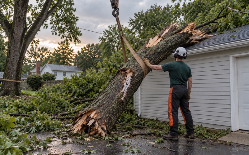
Baltimore Gas and Electric handles vegetation management and line clearance on its own distribution system, and the utility states plainly that it is not responsible for removing the wood it cuts. A crew can clear a limb off a conductor and leave the trunk lying in the yard. Hauling and cleanup are written into our estimate, with what is included spelled out, so nothing about what stays behind is a surprise.
Replanting where it applies
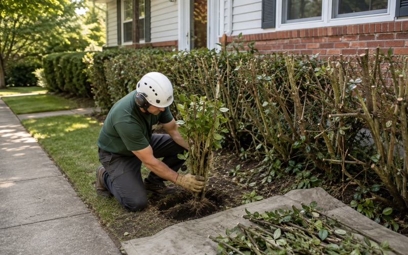
Replacement is where the three designations diverge most visibly. On a Limited Development or Resource Conservation parcel, taking a canopy tree out generally comes with an obligation to put something back, and the plan is what records the species, the count and the location. Near the bridge the emphasis shifts toward what the site can realistically support instead.
We would rather write that into the estimate than hand it over afterward as a discovery. Estimates here are free, done on site, and put in writing before anyone starts, and the county-side requirements belong inside that written scope rather than arriving later as an adjustment.
Reading the tree before you clear it
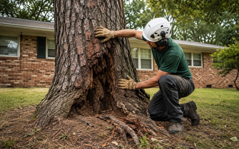
Plenty of calls do not end in a removal at all, and on a designated lot that matters more than it would elsewhere. Co-dominant stems with included bark at the union are the common structural defect on mature yard trees around here, and cabling and bracing or a crown reduction can buy real years on a tree that is worth keeping.
That route also sidesteps the replanting question entirely, which on a Resource Conservation lot is worth something. We measure diameter at breast height, look at the union and the root collar, and give a straight answer about which way we would go rather than defaulting to the bigger job.
Who shows up and what they bring
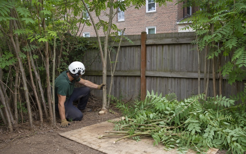
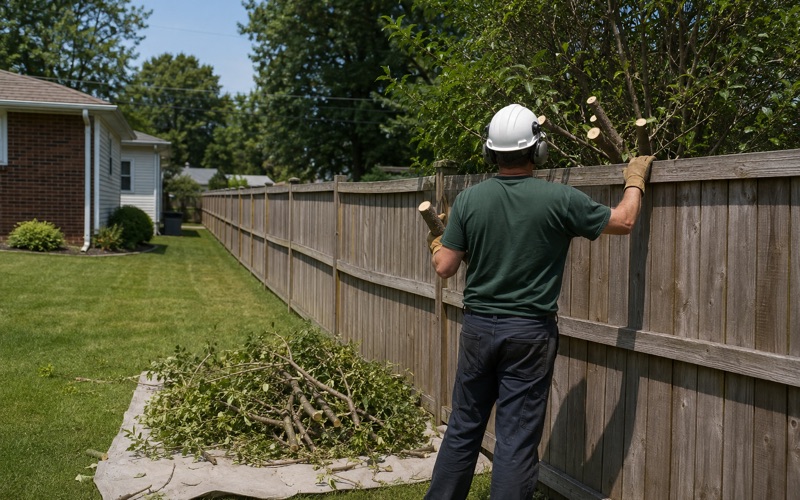
The crew that walks the property during the estimate is the crew that returns on the work day. On a tight Neck lot that usually means sectional dismantling, where the tree comes down in controlled pieces off a rope rather than as a felled stem, with lawn and hardscape protection matting laid under the drop zone before the first cut.
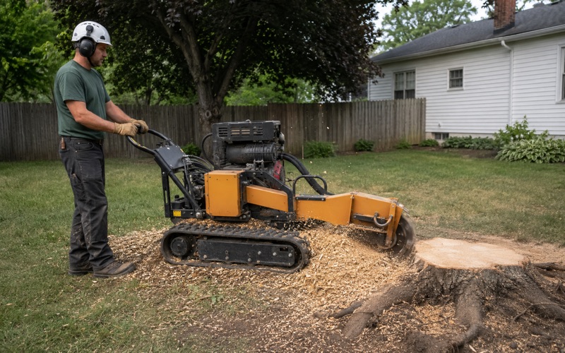
Stumps are a separate decision and we will say so rather than bundling it. A stump grinder takes the visible stump below grade cleanly enough, but on a Critical Area parcel the more useful question is often what goes in its place, because that is what the replanting requirement is actually asking about.
If you are not certain which of the three designations your address carries, that is a normal starting point rather than a problem. Tell us the street and we will work it out from the map before quoting a price, and the visit that establishes it costs nothing either way.
- 20+ Years in Anne Arundel
- Free Written Estimates
- 24-Hour Storm Response